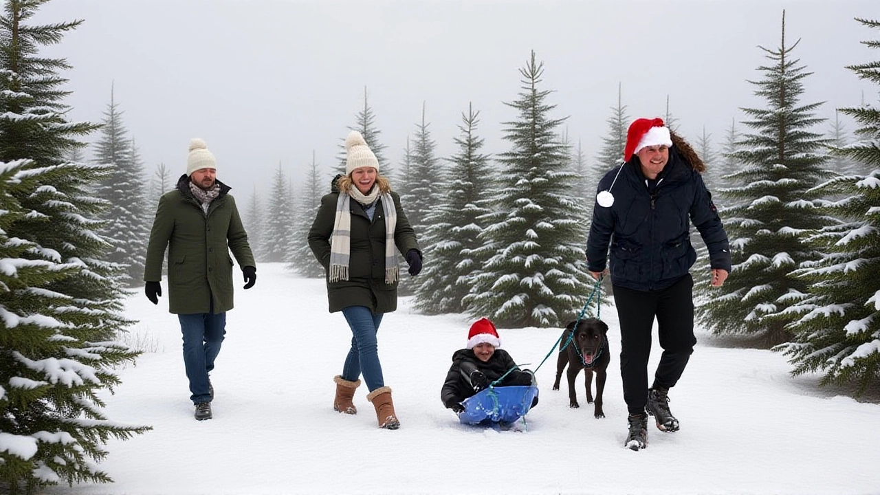
For millions of Americans hoping to wake up to a snowy Christmas morning, the odds are looking better than they have in years. The NOAA Climate Prediction Center has issued its winter outlook, and the message is clear: La Niña is back—and it’s bringing snow. From the Great Lakes to the Upper Midwest, and even stretching into parts of the Northeast, December 2025 could deliver the kind of holiday whiteout hasn’t been seen since the early 2020s. The twist? It’s not just luck. It’s a pattern—cold, wet, and stubborn—that’s been brewing since September.
Why This Winter Is Different
La Niña, the cool phase of the El Niño-Southern Oscillation (ENSO), has been firmly in place since last fall. NOAA’s data shows the Niño-3.4 index hovering between -0.5°C and -0.9°C, a classic weak-to-moderate La Niña signature. And unlike recent winters where the pattern fizzled out early, this one’s sticking around through February. That’s critical. Historically, 22 of the last 25 La Niña winters have brought above-average snowfall to the Pacific Northwest and Idaho. Less than seven of them had below-normal snow. That’s not a fluke—it’s a fingerprint.
Meanwhile, the severe-weather.eu team has flagged a persistent polar vortex setup. Their analysis shows a "blocked North Pole," where high pressure locks cold air over Canada, forcing a steady stream of Arctic air southward into the U.S. This "cross-polar flow," as they call it, is exactly what’s needed to turn rain into snow—and keep it there. "We specifically chose to show this week," they wrote, "as it covers the Christmas holidays. And since it shows a colder trend, this is exactly the right basis for looking at the potential of white/snowy holidays across the northern, central, and eastern United States."
Where the Snow Will Fall Hardest
The numbers tell the story. AccuWeather meteorologist Paul Pastelok predicts the Great Lakes will be the epicenter of snowfall in December, with lake-effect storms fueled by frigid air rushing over the still-warm waters. Buffalo, New York is forecast to receive 90–100 inches of snow this season—close to its 100-year average and well above last year’s 77.6 inches. In Minneapolis, snow totals could hit 65 to 75 inches. Montana? Up to 500 inches in some mountain zones. "Book those Big Sky and Jackson Hole trips for January," one YouTube forecast analysis urged. "Trust me on that one."
Across the northern tier, snowfall is expected to reach 115% to 130% of normal. The Ohio Valley and Northern Rockies will see above-average precipitation, much of it falling as snow. Even areas like Pittsburgh and Cleveland could see multiple storms stacking up by late December.
The South’s Wild Card: When the Polar Vortex Breaks Loose
Don’t think the South is off the hook. While most of the southern U.S. will stay warmer and drier than average, AccuWeather warns of a potential "major blast of Arctic air" in late January or early February. That’s when the polar vortex could destabilize and plunge deep into Texas, Louisiana, even Georgia. It’s not the norm—but it’s possible. And when it happens, it’s unforgettable. The last time this occurred in 2021, Texas lost power for days. This year, the risk remains. "The highest potential for the polar vortex to shift south," says Pastelok, "comes in that late-January window."
What This Means for Travel, Schools, and Holiday Plans
For families planning road trips to visit relatives, this winter could mean delays. The I-90 corridor from Seattle to Boston, already notorious for winter closures, could see more than its fair share of snow and ice. Schools in Wisconsin and Michigan may be canceling classes more frequently than in recent years. And for those hoping to ski or snowboard, the Rocky Mountains and Adirondacks are set for a blockbuster season.
But here’s the thing: not everyone will benefit. Farmers in the southern Plains may struggle with dry soils. Utility companies in the South could be caught off guard if a sudden cold snap hits before they’ve upgraded infrastructure. And while snow is magical on Christmas morning, it’s a headache when it piles up on roofs, blocks driveways, and cancels flights.
What’s Next? The Transition to Neutral
By January-March 2026, there’s a 61% chance La Niña will fade into ENSO-neutral conditions. That doesn’t mean warmth returns overnight. The jet stream patterns set in December tend to linger. But if the cold breaks too early, the snowfall totals could drop off sharply after the holidays. That’s why meteorologists are watching the upper atmosphere closely—any sudden warming in the stratosphere could disrupt the polar vortex and shorten the season.
For now, the signs are strong. The data, the models, the historical patterns—they all point to the same conclusion: this winter feels different. It’s not just another snowy season. It’s a reminder that nature still holds the reins, even in our algorithm-driven world.
Frequently Asked Questions
How likely is a white Christmas this year in major U.S. cities?
According to NOAA and AccuWeather, cities like Minneapolis, Buffalo, and Portland have a 70%+ chance of measurable snow on Christmas Day, the highest since 2018. Even cities like Chicago and Pittsburgh, which saw little snow last year, are now forecast to have a 50–60% chance. In contrast, Atlanta and Houston remain below 10%.
Why is La Niña making snow more likely in the North?
La Niña shifts the jet stream northward, steering storm systems across the northern U.S. instead of the South. This brings more moisture-laden systems into the Great Lakes and Pacific Northwest, where cold air keeps it as snow. Historically, 80% of La Niña winters since 1950 saw above-average snowfall in these regions.
Could a polar vortex event hit the South during the holidays?
Unlikely during Christmas week, but possible by late January. The current pattern keeps cold air locked over Canada. However, if the vortex weakens or splits—as it did in 2021—arctic air could surge into the Gulf Coast. That’s when temperatures could plunge 30–40°F below normal in just 48 hours.
How does this winter compare to 2023-2024?
Last winter was unusually warm in the North and dry in the East, with only 42% of the normal snowfall in the Great Lakes region. This year, forecasts suggest snowfall could be nearly double in places like Buffalo and Duluth. It’s a dramatic reversal—one that’s statistically rare but well-supported by La Niña patterns.
Will this affect holiday travel plans?
Absolutely. The Great Lakes and Northeast are expected to see 2–3 major snowstorms between Dec. 15–25. Airlines have already warned of possible delays at O’Hare, JFK, and Detroit Metro. Travelers are advised to book flexible tickets and check road conditions daily.
What’s the long-term outlook after Christmas?
After the holidays, snowfall is expected to taper off slightly as La Niña weakens, but cold air will remain entrenched through mid-January. A potential polar vortex disruption in late January could bring one final blast of cold and snow to the Midwest and East—possibly extending winter well into February.